Showing posts with label Google Maps. Show all posts

Sunday, March 27, 2011

TMI, Google Maps!


I love Google Maps. I think it's absolutely brilliant. With time they're getting so detailed and accurate that I suspect they're going to have my underwear drawer properly identified. That's great, but there's a very significant line between 'usefully detailed' and 'uselessly complicated'. I fear that Google Maps is starting to cross that line.

I present to you the immediate Yonge and St. Clair are in Toronto. St. Clair is the east-west yellow street and Yonge is the north-south one. It's stuck to the side of the image because it's the area to the east that I want to show: slightly east of Yonge on St. Clair is where the St. Clair TTC stop is.

Singular: the St. Clair TTC stop. There's just one. From there you can take buses, a streetcar and a subway going northbound or southbound. Quite obviously, the platforms you must stand on to take these various forms of transport do not physically occupy the same space, as that would create huge crowding and many an accident, especially as buses would be forced to drive on rails. Rather obviously, once you've entered through the turnstiles, you go up or down corridors and/or stairwells accordingly, following the signs to get to where you want to go. Like every subway station on the planet. Why Google Maps chooses to show the exact location of each platform is entirely beyond me (in the case of the subway platforms, these are of course subterranean and just plotted as 'roundabout there'). If I bring up Google Maps wanting to know where the St. Clair subway station is, is it not glaringly obvious that I want to know how to get there from the street? That I want to know the entrance to the station?

So where exactly is that entrance? Well, unsurprisingly, there are several. The main one that you'd access from the street, the one with a big TTC symbol in front of it, is in a building that also has a McDonald's in it. Look carefully at the map... the McDonald's is indicated on it and is the only way you'll find the entrance to the station. And... yeah, it's nowhere nearn those big letter 'M's, is it? Looking solely at this map will give you the impressions that the best way to get to the St. Clair subway station would be from Pleasant Blvd. (And note: there is a back exit, not that I'd advide taking it).

But this begs the question: while putting the subway, streetcar and bus logos in the place thye've chosen, Google Maps has undoubtedly made their service more accurate. But have they made it more useful?

Monday, March 14, 2011

Robsart, Saskatchewan: A Ghost Town on Google Street View

I'm just fascinated with the idea of ghost towns, entire communities that have been abandoned for one reason or another. They make for gorgeous, eerie photos - history, preserved but still decaying. Buildings where people once lived, laughed, loved... now vacant and overgrown. It's romantic, even as it's eerie. The most romantic things are eerie, anyway.

So Robsart, Saskatchewan is one. One of many - the Prairies are dotted with similar places, erected for different reasons and abandoned for different reasons still. Robsart is probably one of dozens. Anonymous, really... except for one thing: Google Street View has sent its cameras through. So now, the most valuable thing Google Street View does - giving you the sense of what it's like to walk streets you'll never see in person - can be applied to a ghost town as well. Let's go for a stroll...

(Note, as always these pictures get bigger and sadder if you click on them.)


Pictures of ghost-towns always have a kind of "The Day After"-style post-nuclear gloom to them. This building was clearly never a very impressive building, but now, in its state of disrepair, it's just sad.


This one was a bit nicer. These people were richer, I suppose. Notice how they left curtains up. I imagine they left saying they'd return one day, or that they'd use it as a summer house or something.


Not here, though. These people cleared out for good. Didn't even bother to close the door on the way out. Though I don't know if this used to be a house or not. It's huge, and look at all those 'vintage cars' abandoned back there. Like everyone was at a weekend hoedown when the bomb fell.


More abandoned cars. Mind you, abandoned cars sitting in fields is a pretty common phenomenon in every rural community, isn't it?

Maybe not like this, though. Threshers and... er, I don't know the names of farming equipment. But there is sits. Some of it is seemingly of a newer vintage, isn't it?


Apparently, this used to be a hospital. I can't say that for sure looking at it, though: it could be a very large dwelling, it could be a schoolhouse... who knows. It's nothing but rotten wood now, anyway, and it looks thoroughly emptied out.


I call this the 'corner store', but I have no idea what it really was. I wonder if that star's a Christmas decoration, and if it just happened to be a December when they cleared out. It kind of looks like there might still be products on display inside.


Clear what this used to be, though, eh? It's tough to guess the vintage: this looks positively Wild-West, but I doubt it's quite so old. Maybe that's when the lumber company was founded, and they used it for decades after without ever changing the sign.


This one is absolutely gorgeous: a 1960s igloo-style façade hiding a sadly generic red building. Who knows what community activities this sad little building, with its solitary tiny front window, once held. But the Canadian Centennial logo establishes the vintage more exactingly. Whenever Robsart was abandoned, it was sometime after 1967. Of course, when I say 'abandoned'...


...Robsart hasn't been completely abandoned. Here's a cow in the middle of the detritus. Must be lots to eat around here.


And I'm not just talking about cows either. Wikipedia reports that Robsart has a population of nine. For some reason, I find this creepier than the thought that it had been completely abandoned: that people still live, like squatters in a graveyard, surrounded by the ghostly detritus of the community that once was.


Or even somehow attempt to eke out a business. This, the painted sign indicates, is 'Robsart Art Works', presumably someone's workshop studio. Several signs around town advertise this site, probably for the benefit of ghost-town adventurers. But it's tough to imagine this poor person gets much business. Although I imagine living in Robsart gives her (for some reason I presume it's a her) a fair amount of inspiration.

Wednesday, March 9, 2011

Crossing the Border at the "Top of the World"


This picture is a Canadian / American border crossing. If you cross at Rainbow Bridge or in that hellacious Windsor-Detroit tunnel, crossing the Canadian-American border is a huge ordeal involving long line-ups and big buildings. On the other hand, there's this... This is the border crossing on the 'Top of the World' Highway, between Alaska and the Yukon. Perhaps the very border Sarah Palin's family crossed back in the day to get free medical treatment for her brother.

To get the full effect, blow up the picture by clicking on it. This is an amazing picture, I think (swiped from Google Maps, of course). When you think of junk-touching airport security, biometric passports and the border fence along the Rio Grande, recall this humble photo: this is how difficult it is to get into the USA. If you want to get into the USA, you certainly can - you just need to choose your border crossings carefully.

Saturday, January 8, 2011

Welcome To / Bienvenue à... (Canadian Provinces Version)

So this is just a short and simple one... I used Google Maps Street View (which I am addicted to) to look at the borders between each Canadian province. You know, if you're travelling from one province to another, somewhere along the way you see a sign that says "Welcome to..." So here's one for each of the ten Canadian provinces - none for the territories, primarily because Google Maps doesn't seem to have gone to Nunavut at all, and its borders with other provinces or territories are not exactly filled with roads. And as we'll see I still had to cheat once.

So here they are, from West to East. Please bear in mind they'll get bigger if you click on them.


BRITISH COLUMBIA: BC of course only borders one province, being stuck in the corner there... This is a pretty enough sign, simple and clean. There's an outhouse behind it, and it was such a still day when the Google Maps car went by that you can barely see the flag.


ALBERTA: This one is hilarious. Looking like the entrance to any provincial or federal park in the country, this simplest-of-the-simple of signs screams out 'border crossing signs require tax money, and whos going to pay for that?'


SASKATCHEWAN: Wheat. Yep, a huge fake sheaf of wheat, and a silly slogan too (that at least beats Manitoba's ludicrous licence plates that read 'Friendly'. This sign doesn't welcome you to Saskatchewan, it merely points out that you've arrived. Naturally.


MANITOBA: A strange one, this. I looked at a few border crossings, and this was the clearest one, but still I can't read everything on it. It's shaped like the province, and for some reason is names the province three times in welcoming you to it. It looks like they just stuck up the blue map-outline and invited different people to 'pretty it up' however they saw fit.


ONTARIO: Ontario gets a bland one. All it seems is big. Big and bland... Hmm, maybe they did put a lot of thought into this sign. This is on the border with Québec. The one I could find bordering Manitoba was way tinier and not clear enough in the picture, otherwise I'd have included it for the awesomeness of the fact that it reads: "Welcome to Ontario". "Construction zone ahead". Which, as any Ontarian can tell you, is true.


QUÉBEC: This pretty thing, which is absolutely identical in each border crossing (the province must have gotten a volume discount) features a stylised fleur-de-lys cut out of the sign, exposing an actualy lily behind it (I guess), and of course four fleurs-de-lys on the fluttering flag as well. Quadrilingual, too. Nice.


NEW BRUNSWICK: This embarrassment is the best I could find. Seriously, 'service station ahead 5km' signs take more effort. This looks very much like an advertising billboard, and I can't make out what the English-language teabag tag reads. is it 'Big small wonders' or 'no small wonders'?


NOVA SCOTIA: Nova Scotia, by comparison, goes all out, with some kind of faux lighthouse, some flowers-and-rocks landscaping, and two girls. Wonder if they're always there? The one in white seems to blend in naturally.


PRINCE EDWARD ISLAND: Thank the Confederation Bridge, without which there would be no land crossing to PEI and no need for this, a billboard again like New Brunswick (its parner in bridginess) that looks like it's advertising a hotel resort in Curaçao or something.


NEWFOUNDLAND AND LABRADOR: And this is my cheat. Newfoundland of course has no land borders, but Labrador does, with a scant few roads crossing the border from Where-in-the-hell, Québec to Where-in-the-hell, NL. They exist, but Google Maps couldn't be bothered sending a car up there. So Google Maps cleverly uses its never-heard-of-it service Panoramio for people to upload pictures of places they've been. Someone took a picture of this sign and posted it there, and Google integrates it with Google Maps by putting a blue dot there. Yay, "gvbat1995". Yay, Google. Yay, "The Big Land".

Tuesday, October 19, 2010

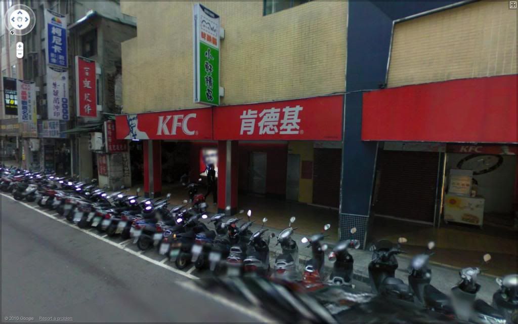
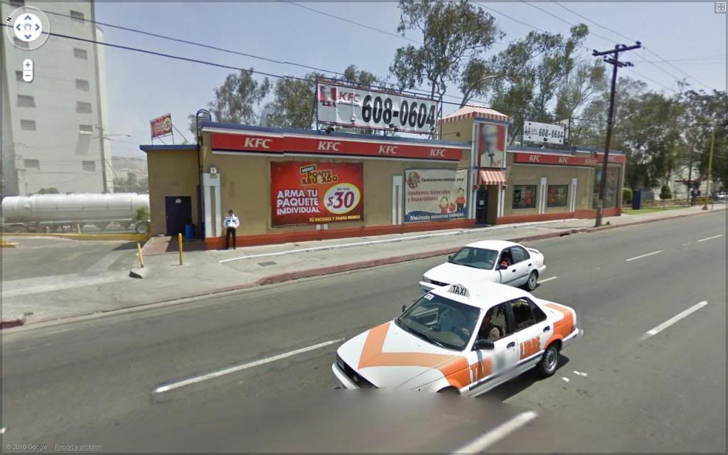
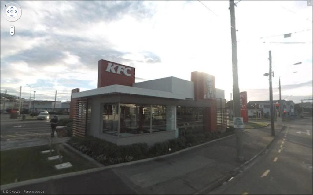
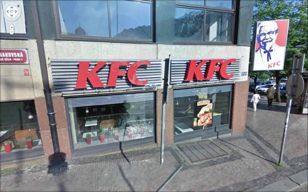
KFC Around the World

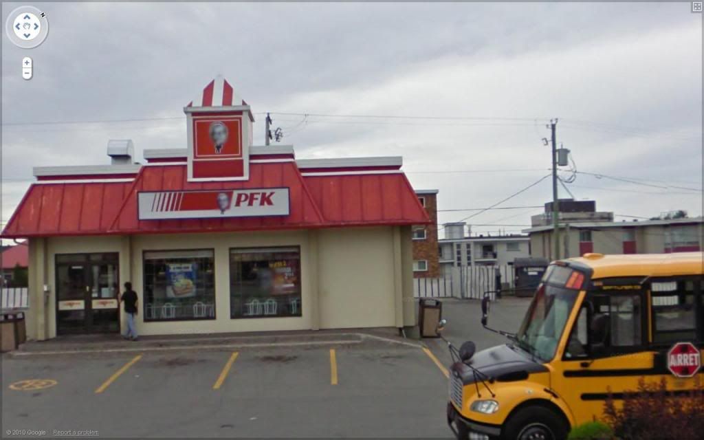
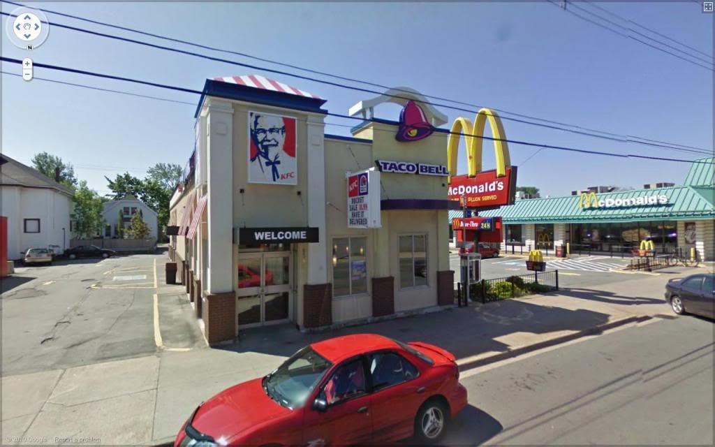
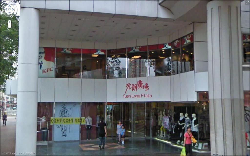
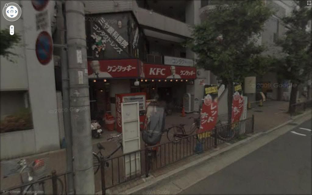
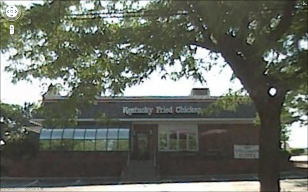
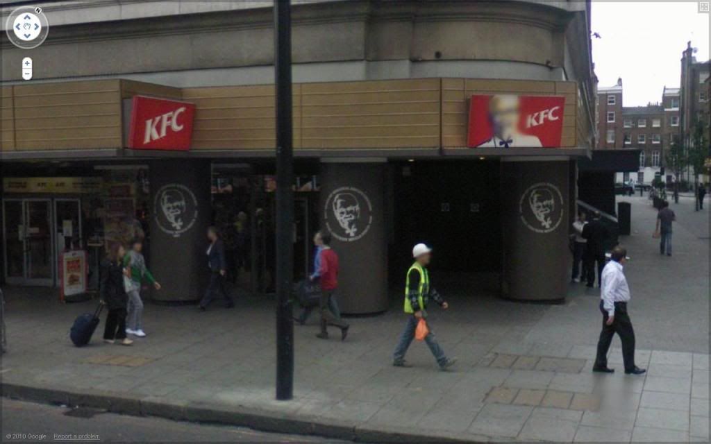
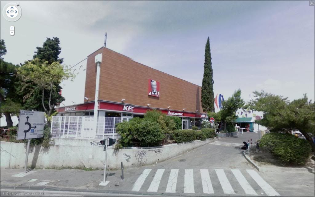
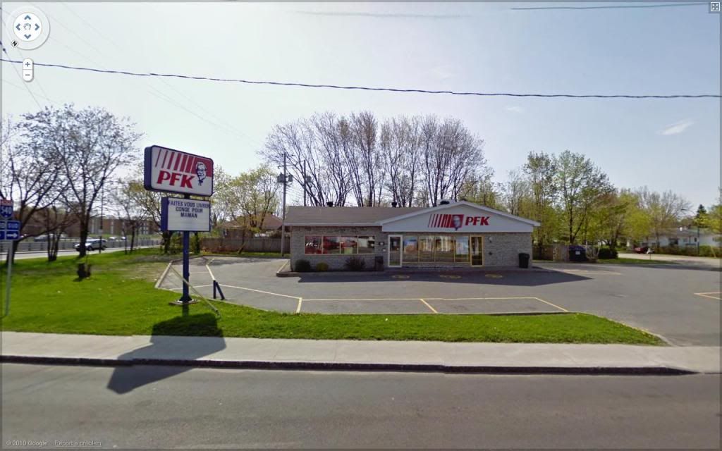
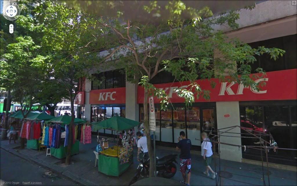
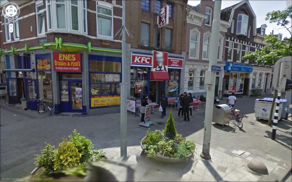
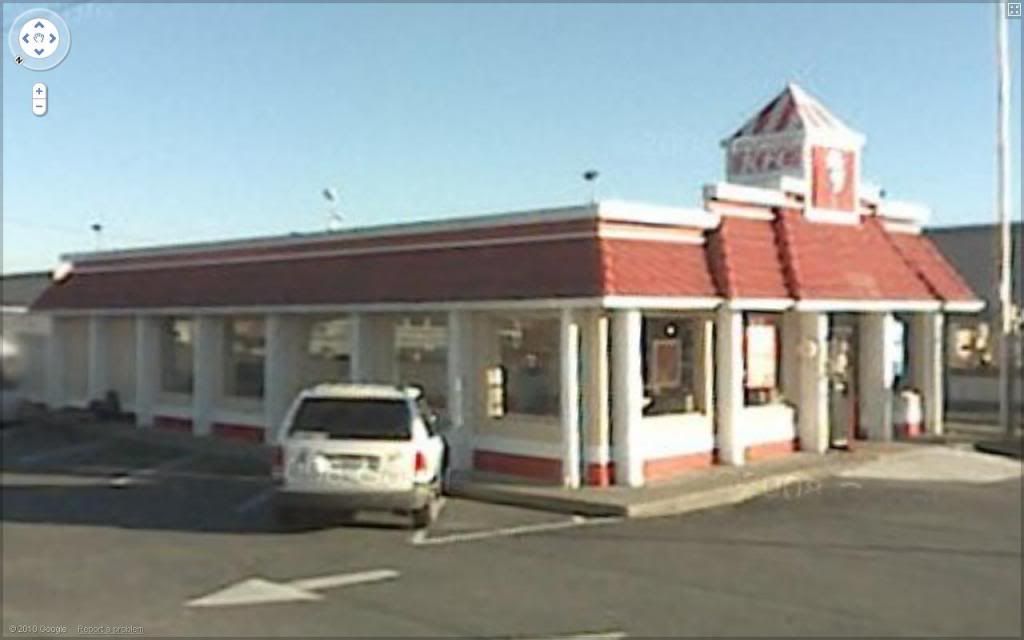
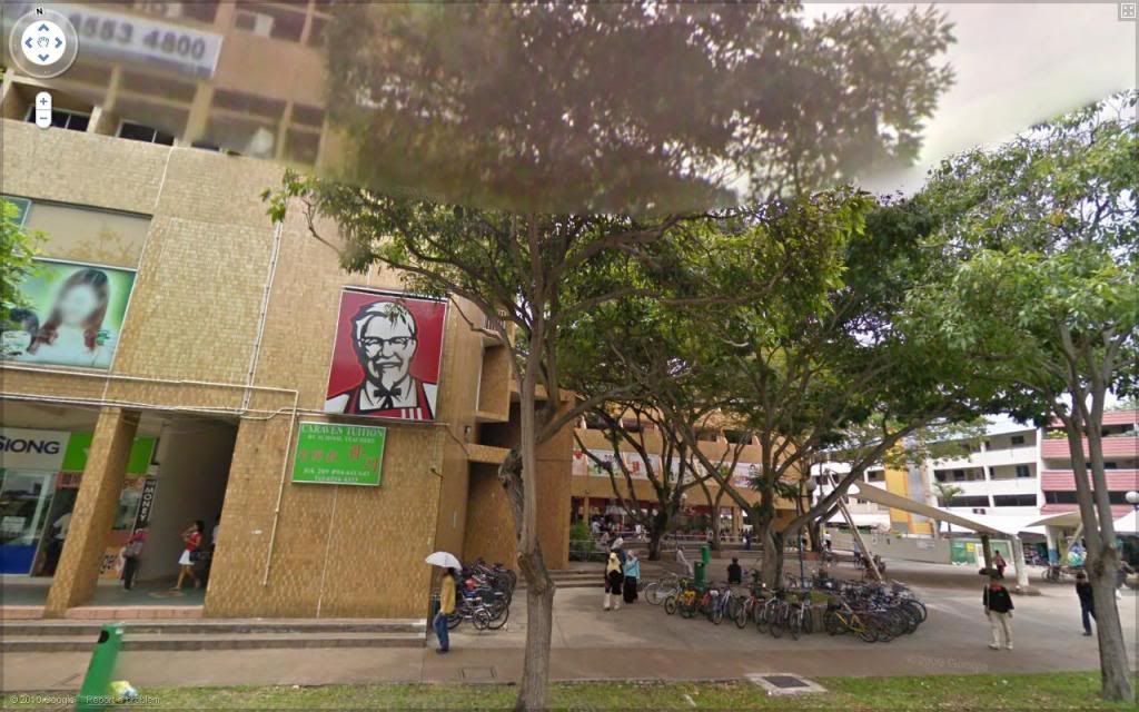
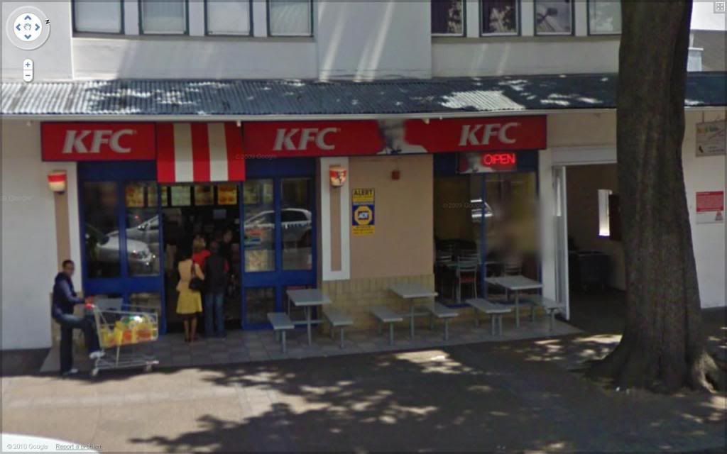
The other day I made a blog entry here devoted to the wonderful world of McDonald's. I used Google Maps Street View to find twenty-five different McDonald's restaurants in twenty-five different cities. And why did I do that? Well, I'm not sure. it's not out of love for McDonald's. I guess I was intrigued by just how Globalism works - how this cookie-cutter design can be stampted on otherwise very different urban spaces. Kind of both frightening and intriguing at the same time. The 'golden arches' in the midst of these different street scenes became a lind of very easy 'Where's Waldo?' game. I was hooked. So here's take two: KFC, which is more international than I had thought it was, whether it's branded in full ("Kentucky Fried Chicken"), in acronym ("KFC") or, in Québec, in its rather delightful alternate acronym "PFK" (test your French by decoding that...)
Click on any of these pretty thumbnails for a full-screen picture.


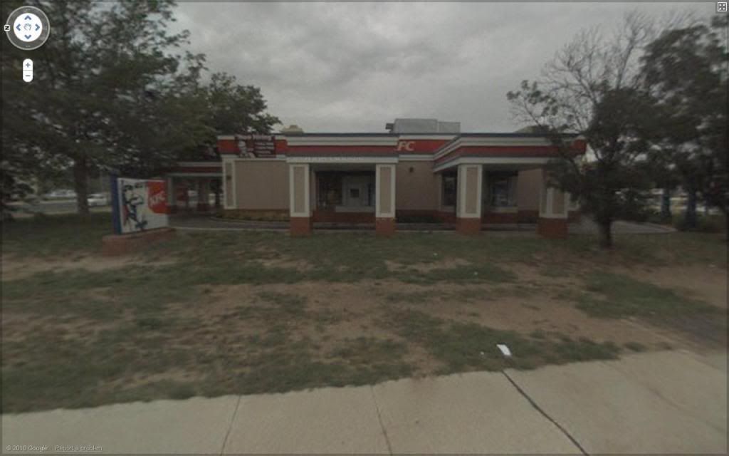
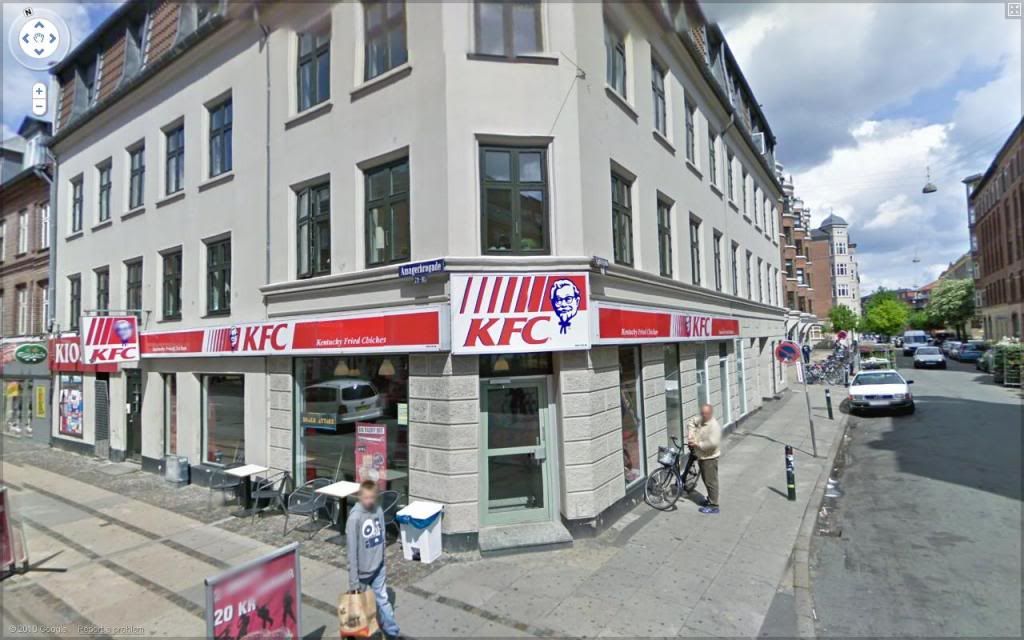
KFC CanberraKFC ChicoutimiKFC Copenhagen

Canberra

Chicoutimi

Copenhagen


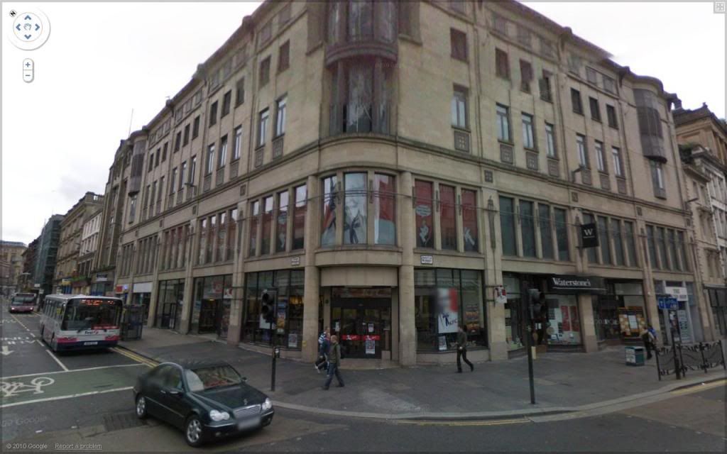
KFC DublinKFC DurbanKFC Glasgow

Dublin

Durban

Glasgow


KFC HalifaxKFC Hong KongKFC Kyoto

Halifax

Hong Kong

Kyoto


KFC LexingtonKFC LondonKFC Madrid

Lexington

London

Madrid


KFC MarseillesKFC MonterreyKFC Prague

Marseilles

Monterrey

Prague


KFC Québec CityKFC Rio de JaneiroKFC Rotterdam

Québec City

Rio de Janeiro

Rotterdam


KFC Salt Lake CityKFC SeattleKFC Singapore

Salt Lake City

Seattle

Singapore


KFC StellenboschKFC TaipeiKFC Tijuana

Stellenbosch

Taipei

Tijuana


KFC Wellington


Wellington


A few quick notes for the sake of clarification: Stellenbosch and Durban are both in South Africa. Halifax is the one in Nova Scotia, and both Chicoutimi and Québec City are in Québec (I love the 'PFK' so much I couldn't resist two). Lexington is in Kentucky, where the brand name is surprisingly not merely 'Fried Chicken', and Salt Lake City is in Utah, both in the USA. The company apparently started in Salt Lake City, but I don't know whether that was the first location. Wellington is in New Zealand and Canberra in Australia. Rotterdam is in the Netherlands, Marseilles is in France. I used too many of the same cities this second time out.
And that's the Dirty Bird. PETA would be so happy.
Enhanced by Zemanta
Related Posts Plugin for WordPress, Blogger...